By Director Tony Estremera, representative for District 6
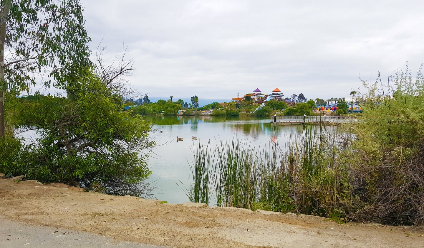
For many San Jose residents, Lake Cunningham Park is a great spot to enjoy family picnics and recreational activities in a natural environment.
But the manmade lake and surrounding open space, built in coordination with the city of San José in the late 1970s and early ‘80s, serves another important function for our community. During strong storms, Lake Cunningham Park acts as a temporary flood detention facility and helps capture excess flows of water from nearby creeks, reducing flood risks for neighboring homes and businesses.
Valley Water has nearly completed work on an $11.6 million flood protection project at Lake Cunningham Park that, when combined with benefits from the completed Lower Silver Creek Project, will protect approximately 3,800 homes and businesses in East San Jose from a 100-year flood event.
Our flood protection efforts will allow waters in Lower Silver Creek downstream of Cunningham Park to safely pass during a 100-year flow event. Our improvements at the park will ensure the detention facility functions as designed and can be certified with the Federal Emergency Management Agency (FEMA).
Valley Water invested $191 million in both flood protection projects for our neighborhoods along Lower Silver Creek. By completing both projects, the homes and businesses in the floodplain around and downstream of the park will be protected from a 100 year-flood event, or a flood that has a 1% chance of happening in any given year.
Our flood protection work at Lake Cunningham Park is expected to be completed in late October. Once it’s done, Valley Water will work with FEMA to revise the flood insurance maps associated with the 3,800 parcels near the creeks. When FEMA updates the map, residents and businesses near the creeks will no longer be required by law to purchase flood insurance.
That could result in savings of hundreds of dollars annually for families in East San Jose who choose to no longer purchase flood insurance.
Lake Cunningham Park is in the Lower Silver Creek Watershed, itself a sub-basin of the Coyote Watershed. The park is flanked by Lower Silver Creek on the northwest edge, Flint Creek on the northern border and Ruby Creek on the eastern border.
In its entirety, Lower Silver Creek flows generally northward from Silver Creek Road at Barberry Lane to Coyote Creek near Highway 101 and McKee Road. Flint and Ruby Creeks are tributary streams rising in the hills east of the park and flowing westward to the eastern portion of Lake Cunningham Park, where they join and empty into Lower Silver Creek within the park. Lower Silver Creek carries the combined flows from all three creeks northwards out of Lake Cunningham Park.
Flood detention improvements at the park were initiated in the 1980s to regulate the maximum storm water that could safely flow into Lower Silver Creek north of the park. Further studies by Valley Water in 2015 indicated that flood protection improvements at Lake Cunningham Park were necessary to provide 100-year flood protection.
Recorded flooding events within the Lower Silver Creek Watershed include storms in December 1889, January and March 1911, January 1952, December 1955, April 1958, January 1963, February 1983, March 1983, and close calls during the February 1998 El Niño.
To meet FEMA’s certification requirements, an existing levee was raised up to four feet high adjacent to Capitol Expressway and Cunningham Avenue. A floodwall ranging from one to four feet high was also constructed on the top of existing berms from the Cunningham Avenue Bridge toward the east to White Road.
Our work in Lake Cunningham Park also included the installation of native plants to restore and improve habitat, and the relocation and replacement of a trash compactor to south of the White Road entrance and across from the Skate Park. This new location is away from the major pedestrian park entrance and allows for the flood wall to continue along Flint Creek unabated.
The improvements at Lake Cunningham Park are an example of Valley Water’s dedication to keeping residents and businesses safe through our flood protection programs.
I want to thank the East San José communities for their patience and support as we completed this project, which began in 2002 with the work along Lower Silver Creek.
To sign up to receive project updates or subscribe to the district newsletter, visit: http://bit.ly/scvwdupdates

When the project complete? and how long does it take to remove flood zone in my area. 500 South capitol ave san jose ca 95127
LikeLike
We will submit the application to the Federal Emergency Management Agency (FEMA) very soon to modify the flood plain. It will take two to three years for FEMA to process our application. Once the new floodplain is published by FEMA, residents can visit the FEMA website to verify if they are still on the floodplain or not. The City of San Jose and Santa Clara County will also update their floodplain maps after the FEMA verification.
LikeLike